


Mobile GIS - Sales & Hire
We specialise in providing you with affordable Mobile GIS solutions for Asset Management - from trees to highways...
GIS Mapping & Analysis
We offer a wide variety of GIS solutions from a small map to several 1000 maps and have access to aerial imagery and OS Map products......
Forestry Consultancy
We provide you with all aspects of Forestry Management from tree planting to harvesting. We frequently produce compartment maps.
Countryside Management & Ecology
We offer ecological surveys and undertake the field work alongside other specialism to save time and to share site knowledge.
Low Cost Aerial Imagery
We offer high quality aerial imagery using the very latest Unmanned Aerial Vehicles which can be used effectively for monitoring.
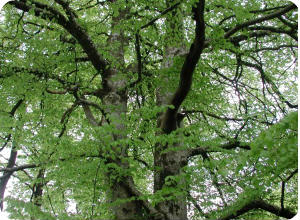
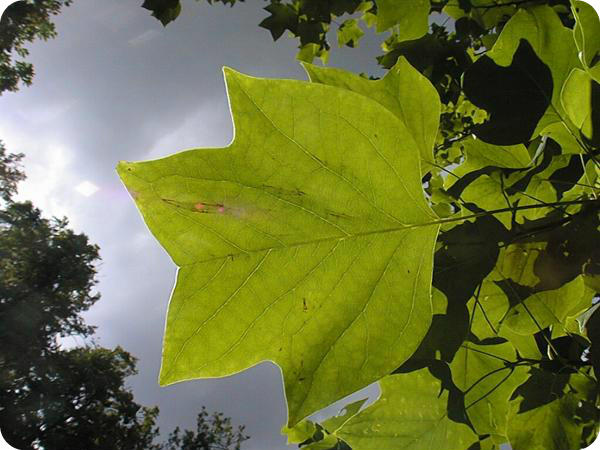
Arboriculture Consultancy
We offer all aspects of arboriculture and provide BS5837:2012 surveys to aid the design process as well as tree safety surveys.
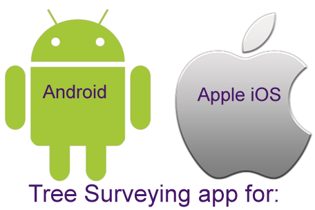
Tree Surveying App
New for 2017 our Tree Surveying app for Android and iOS (iPhones and iPADs) links live to a web mapping site for tree management.


The one stop consultancy services for:
- Arboriculture - Tree Safety Surveys
- BS5837:2012 Tree Surveys
- Forestry
- Countryside Management
- Landscape Architecture
- Ecology
- Noxious Weed Management
- Contract Management
- GIS Training / Analysis/ Map Production / Data Management
- Web Mapping WebGIS
- Mobile GIS Data Capture
- Mobile app for Tree Surveys
- UAV Aerial Imagery & Surveys
- School Catchment Mapping & Ranking

We specialise in environmental consultancy work and have over 18 years experience in delivering projects. This is mainly focused on arboriculture, forestry, countryside management, ecology, grounds maintenance, cemetery management and highways asset management. To assist with this we use mobile mapping and GIS (Geographic Information Systems) and have use this expertise to deliver training courses for 16 years. We use extremely powerful computers (that we know how to use) to save you time and ultimately money. We pride ourselves on offering good service coupled with value for money.
We have worked on large and small surveys and can help you capture the data in the most efficient way by setting up mobile GIS devices with software such as PocketGIS, ESRI ArcPAD and DigiTerra Explorer. Given our experience with mobile devices we can advise you on the best combination of devices and the right software. Having the right data capture form setup can dramatically increase productivity and provides the end users with better information to manage their assets.
We also have a
new mobile app for
tree surveying and this links directly to a
 web mapping system. This has had
several years in development and currently has over 1 million trees in the
system. The mobile app works with Android devices as well as Apple iOS
devices (iPhones, iPADs). Sub metre bluetooth GPS units can be connected to
these devices where the increased accuracy is needed.
web mapping system. This has had
several years in development and currently has over 1 million trees in the
system. The mobile app works with Android devices as well as Apple iOS
devices (iPhones, iPADs). Sub metre bluetooth GPS units can be connected to
these devices where the increased accuracy is needed.
Our use of ArcGIS and MapInfo has allowed us to develop training courses and also to streamline mapping products such as Ordnance Survey MasterMap so that it can be used efficiently on mobile devices out in the field. We also use CAD for plotting trees on development sites as part of BS5837:2012 tree surveys that are often required by planners to assess the worthiness of retaining trees.
We work alongside experienced Ecologists and Landscape Architects who we have a partnership with and as such can assist with projects.
Our latest offering is the use of unmanned aerial vehicle (UAV's) for capturing low cost georeferenced aerial imagery and we see this taking off (thats a bad joke..). Having spent two years working with aerial imagery we see this being very useful for any development projects, environmental projects and forestry management. Click Here to find out more >>
With the recent outbreaks of tree diseases in the UK it will prove effective in monitoring large areas.
-
Please click here to see our latest Consultancy Brochure

NEW.....See our article on Google Earth Professional which is now free. Click the image below:
Consultancy: GIS - Forestry - Arboriculture - Website Design